
Sehenswürdigkeiten
Zadar on the Maps by Geographer Ptolemy and Admiral Piri Reis
Since its founding 3,000 years ago, Zadar has been an indispensable anchorage on the eastern Adriatic coast, an important port during the long historical epochs of the metropolises of Dalmatia and the Adriatic. This is evidenced by the most important cartographic works of antiquity and the late Middle Ages: Ptolemy's Geographical Instruction from the middle of the 2nd century and the Book of the Sea of the Ottoman pirate and admiral Piri Reis from the first half of the 16th century.
Claudius Ptolemy (Κλαύδιος Πτολεμαῖος, Klaúdios Ptolemaῖos, Claudius Ptolemaeus) was a mathematician, astronomer, geographer and music theorist, a native of Alexandria, Egypt (85-165). Ptolemy contributed significantly to the geographical science and cartography of the ancient world with the work Geographical Instruction (Γεωγραφιϰὴ ὑφήγησις) by which he gained the reputation and name of a world scholar. The work of eight books, including maps of the then known world, is not preserved in the original, but in many Medieval transcripts. In the eighth book there is a map entitled The Fifth Map of Europe (Quinta Europae Tabula) with a very thorough account of Illyricum and Pannonia. On one of the copies, we can see Zadar (Colonia Iadera), which testifies to the importance of the bay, the city and the port of Zadar in the Roman Empire more than 1,850 years ago.
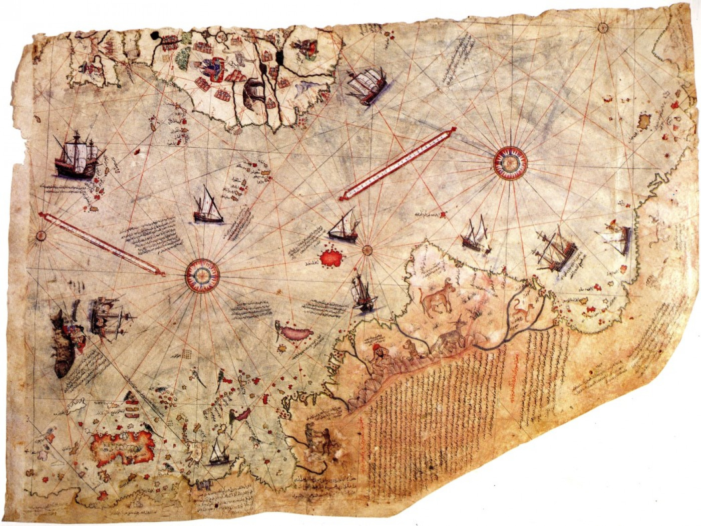
But perhaps the most important mention and depiction of Zadar can be found in the Middle Ages from the beginning of the 16th century, with the famous Piri Reis (Hacı Ahmet Muhittin Pîrî Bey), Ottoman admiral, geographer and cartographer of Suleiman the Magnificent. In 1517 he commanded a fleet accompanied by the Grand Vizier Ibrahim Pasha on his way to Alexandria. He compiled the notes and maps in 1521 into the first manuscript version of the Book of Navigation (Kitab-ı Bahriye). The revised and expanded manuscript was handed over to Suleiman the Magnificent in 1526, which was named the greatest geographical Ottoman collection of its time as a practical and artistic manuscript. In the Book of Navigation, this Turkish cartographer described precisely and in detail the port of Zadar with a depiction of the entrances and exits from the port and with auxiliary anchorages, as well as the Zadar aquatorium.
.
Standort
Möchtest du gern mehr wissen?
Vorschläge