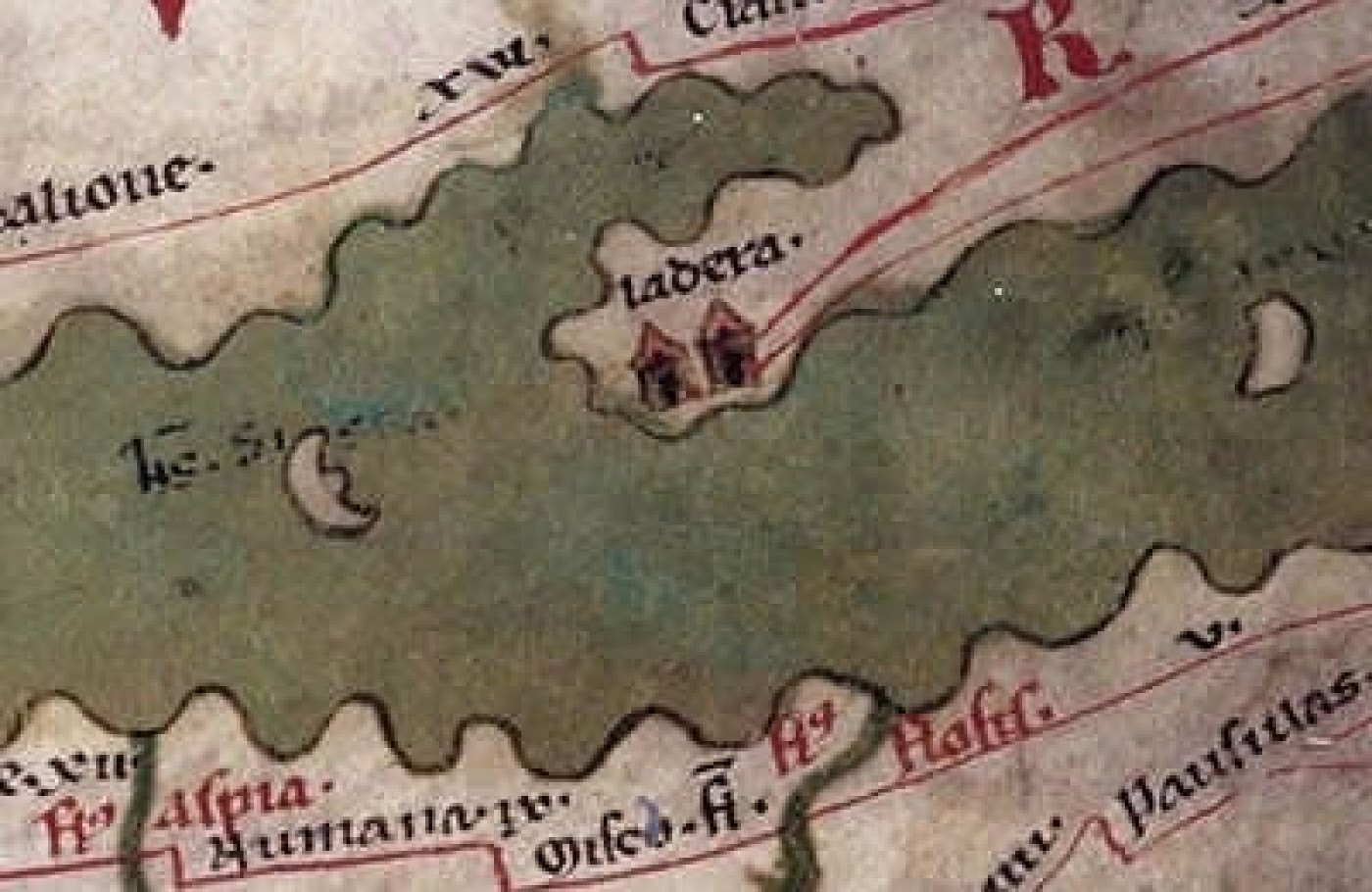
Placed on the Oldest Map
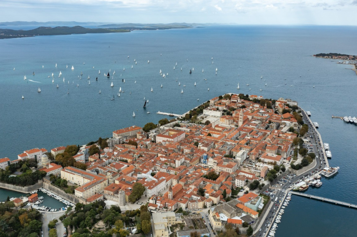
The position of Zadar was not put on the earliest known maps without a reason. Tabula Peutingeriana, a copy of a Medieval Roman map from the 3rd century, depicts Zadar (Iader) on an exceptionally large peninsula. The ancient cartographer clearly wanted to highlight its position. The sailing route led the Greeks and the Byzantine Empire towards the North Adriatic across Zadar, and later on, for at least a millennium, Europe to the Levant.
.
Posizione